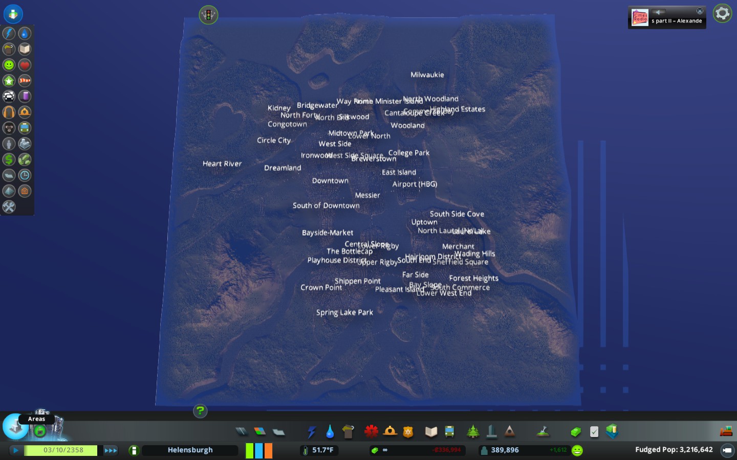
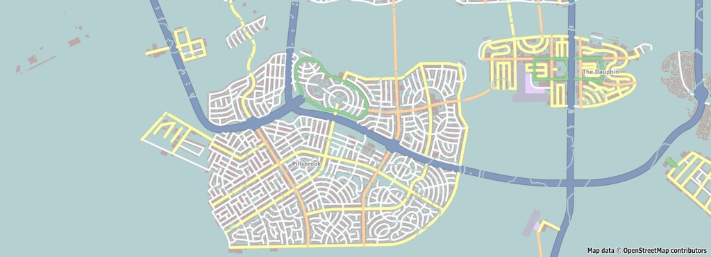
 This is the latest neighborhood map. Some renaming, some expansion though I haven't done much outside of the city limits yet. |
Extremely likely that I'm going to attempt rebuilding the subway lines the same way I did for buses. I feel like there are 1) too many stops and 2) I just want to know the areas better and doing this has helped me understand where things are, etc.
The problem with the subway right now is I don't really know where the connection points are and I'd like to have a better sense of where they drop off, intersect, etc. Now that I know the neighborhoods and have the lines identified, this should be easier (in theory) and then I figure out bus efficiency, but I'm probably doing something really wrong with the buses. After reading what other people have done/are doing, they've gotten a lot more ridership than I've managed to...the best I can seem to do is about 5-6%, I've read people who have 13% ridership because their lines are more efficient or at least, more common to get people where they need to go. It'll be tedious to start over again, but seeing as this is literally the only thing I'm working on right now in the city, I'm good with it. |
For my current save, I'm only going to work on mass transit and perhaps, clarifying neighborhood boundaries. I don't think I'll do anything dramatic like eliminate TRAM system or anything. I'm not even entirely sure I'll change the way METRO service works right now. I haven't rebuild the METRO service, I only renamed them based on existing lines, because it seemed like a gargantuan task.
Buses themselves have been enough of a bear. I do think one of the "realistic" mods I had on was causing the drop in bus/subway traffic, because nothing else I did would've caused such a decline in ridership on subway lines. Bus lines I can see it, because I changed the lines so drastically and because none of my lines are really that circular around the city and I don't have routes that work in tandem with other ones. I might rebuild the bus lines a third time, this time, I will look at commuting patterns of people in residential neighborhoods to find out where they work and see if it works better to get them from where they are to where they'd like to be. Then I'll take some photos and share my work. |
I did a citywide census last night and was able to really section the city off into 5 separate boroughs, essentially. I haven't named them yet, but for organizational purposes, it makes things a lot easier to make sense of because two of them are extremely residential (South) and the Northeast is emergent, whereas Central and Northwest are more industrial/commercial focused.
Understanding the neighborhoods and how they arrange helps me understand traffic flow better. |
I started reading again over at Simtropolis. Apparently at around 400k population, the game hits an active agent limit. So my mass transit problems aren't really me, it's just a game constraint on how many simulated agents can be moving around at once.
That makes me feel better that it's not something I was doing wrong, per se. |
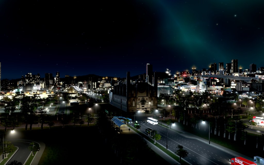
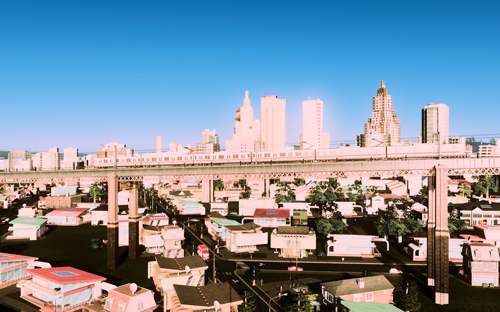
The Ironwood Redevelopment Project (IRP) was literally a campaign promise made by the incoming mayor and he delivered, as the project is still in Phase II, but Phase I is pretty impressive. Gone are the smokestacks that pushed up against downtown and were separated from it by a highway.
Instead? One of Helensburgh's hottest new neighborhoods. I can't wait to get more into this place and finish the project. It'll be almost entirely residential/commercial, not many offices here. Ironwood is also home to the new Helensburgh Zoo and a minor league soccer stadium. 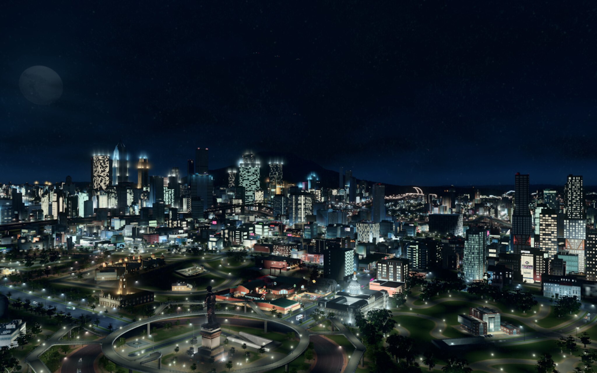  Here you can see the separation of what I'm roughly referring to right now as East Ironwood and West Ironwood. Both have their own "parkside" areas that were industrial areas. I'd imagine both will develop into separate neighborhoods, but I have not figure out what they'd be called yet. The Ironwood name has some currency still, but there is a need to differentiate which park you're referring to, rather than just the generic "Ironwood Park"  Another area that is developing is College Park home to Helensburgh University. 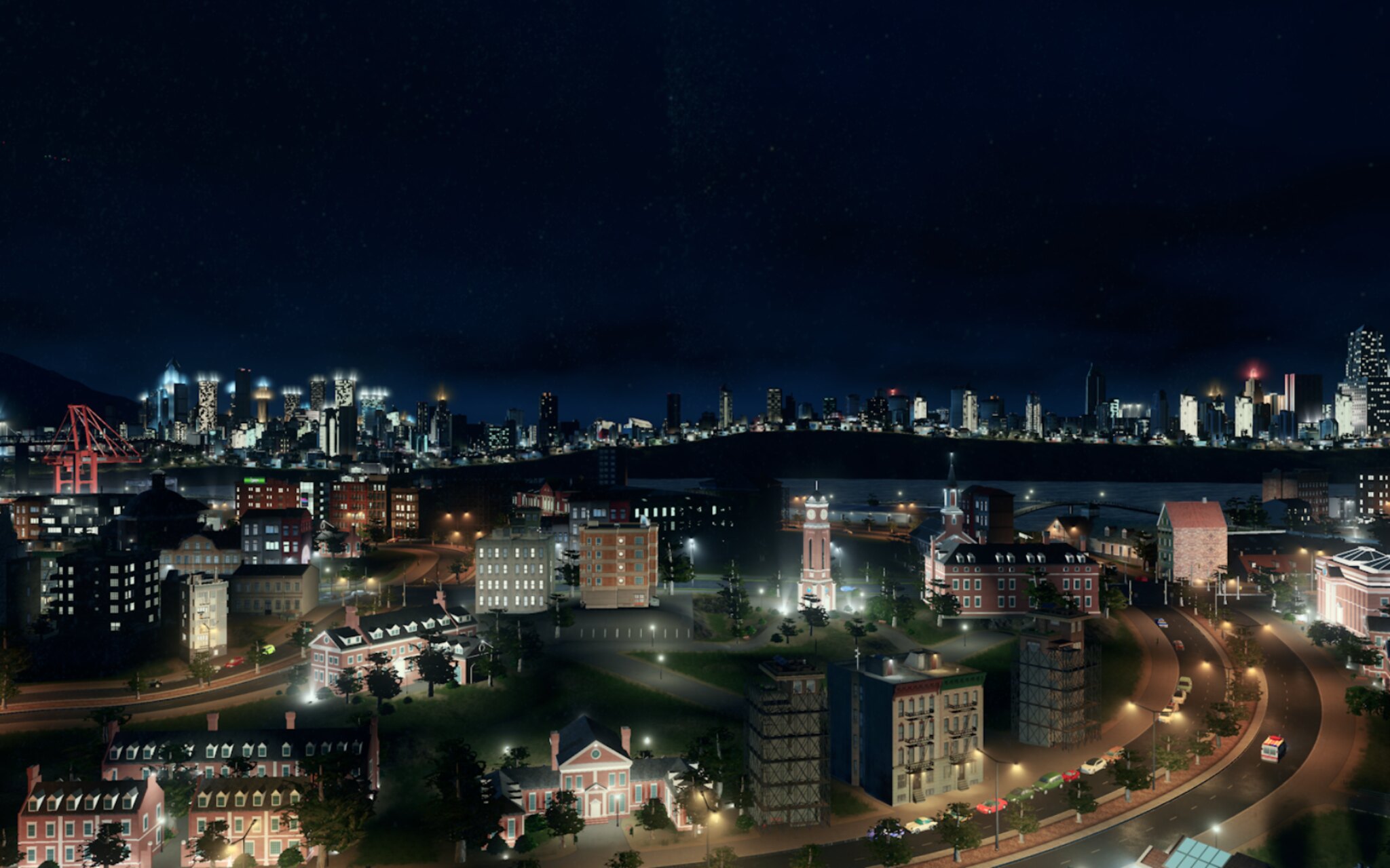 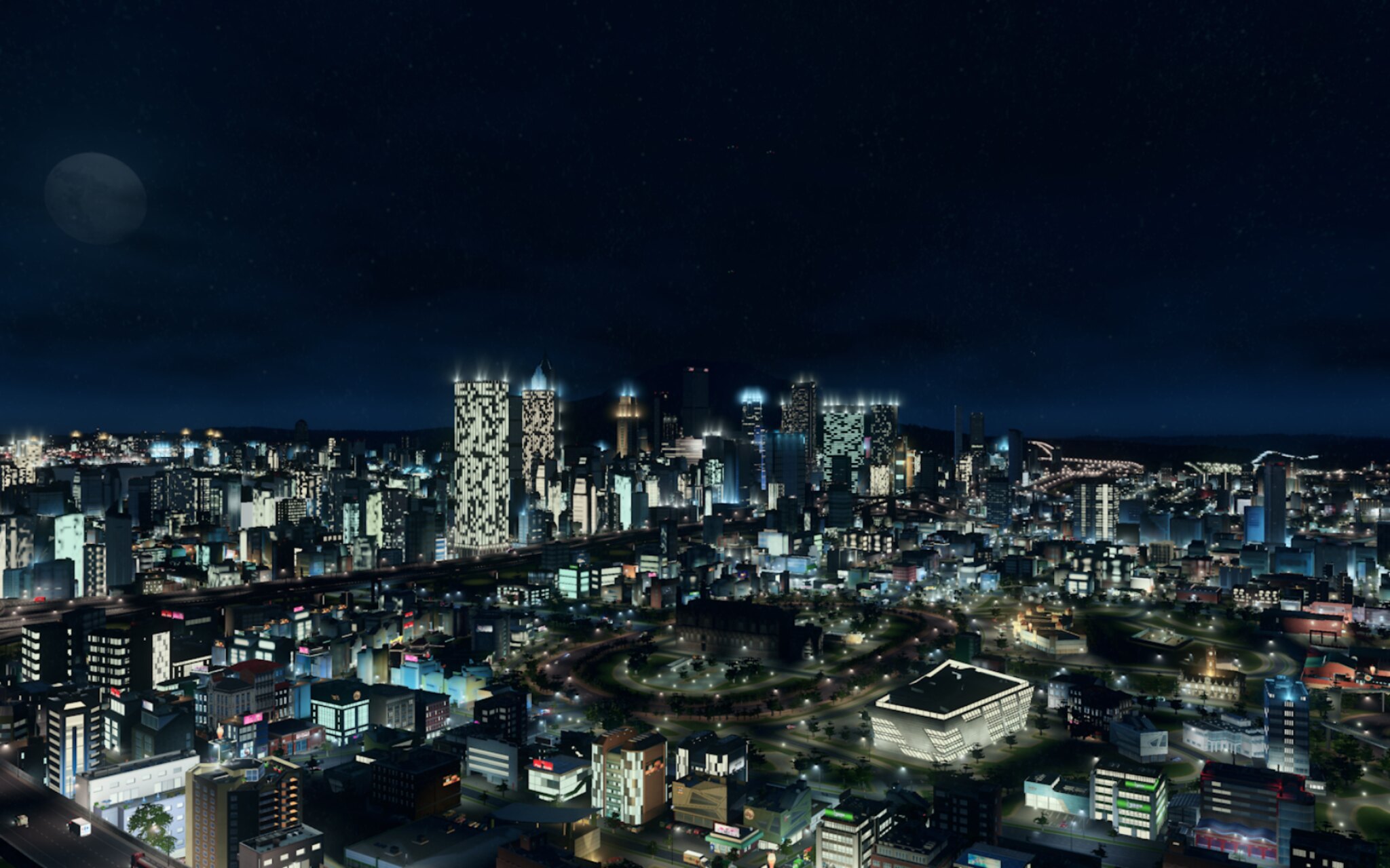 |
Umm..sidenote? Using dynamic resolution mod to generate "HD" screenshots of my cities. The Simtropolis folks were doing it and I had no idea how their screenshots looked so much better. First, it's because many of those folks place their cities assets by hand. But it's also because they use dynamic resolution to generate super high res images.
I don't play with that resolution, just crank it to take photos. |
Impressive
I wish I could get into this game but I flame out early on every time Sent from my iPhone using Tapatalk |
My latest shots were taken last night in the College Park section of Helensburgh. I've been on a spree lately of redevelopment around the city, but it's a huge city so there's always lots of work to do. I need to go through tonight and take a bunch of screenshots of the various neighborhoods and get some detail shots, just so that I have some before & after shots to show you all after I get done making changes.
  |
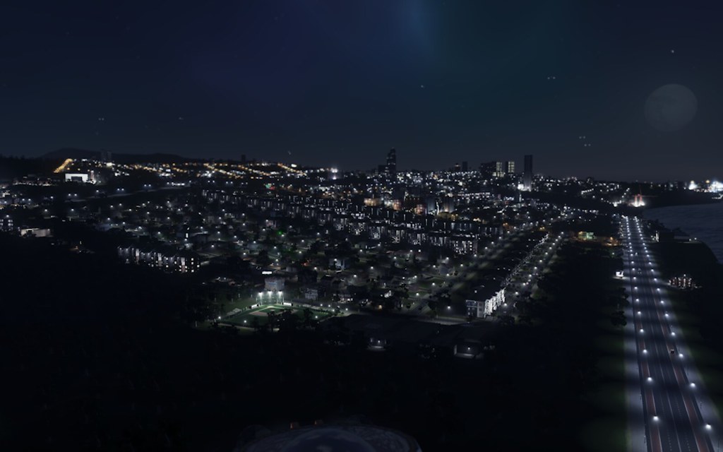
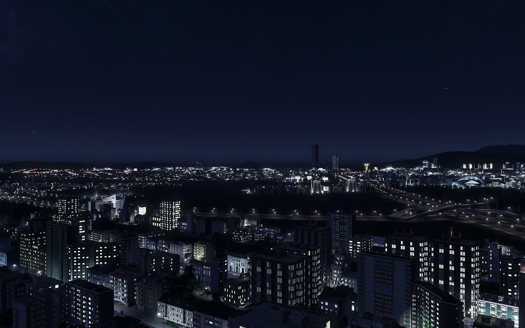 No idea what part of town this is because it's at night. |
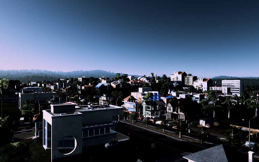
This is from the Heart River section of Helensburgh. The area is outside the city limits, near Heart River and a relatively new development that only cropped up in recent years. Very residential and in contrast to say, Milwaukie/Woodland Park area, feels more urban and less suburban, but still super quiet and great for families.
 |
Planning to spend a bit of time today in Helensburgh, I've found some new areas I'd like to redevelop or at least get a better sense of where they are. The skyline of the downtown is also evolving. It's essentially a citywide plan to become less dense/congested, so the city is evolving before our eyes.
Here's a view of the red light district called "Playhouse" to get you going. The Playhouse District is the Red Light district in the city. 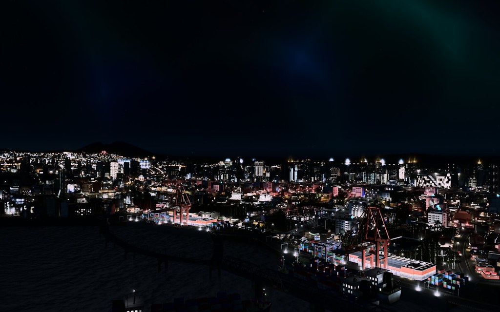 |
I decided to redo the district map. Rather than codifying the district each time I want to repurpose an area, I'm just going to create boroughs of the city. I feel like it'll make it easier to determine the character of each area, rather than thinking in such a micro way.
I'll still identify neighborhoods, it'll just be a manual thing. When the street naming mod starts working again, I can use street names to help me figure out boundaries of neighborhoods since in many cities the boundaries aren't precise anyway. |
Went touring. More context for these later, I just needed to share the latest.
 255710_20170101225418_1* 255710_20170101225418_1*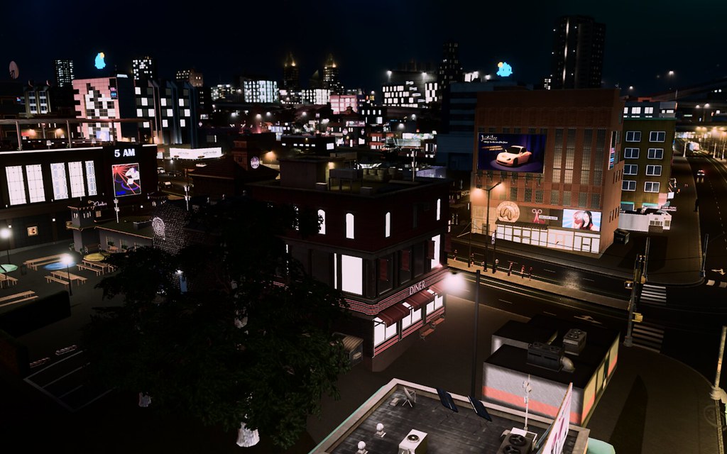 Playhouse District, Helensburgh Playhouse District, Helensburgh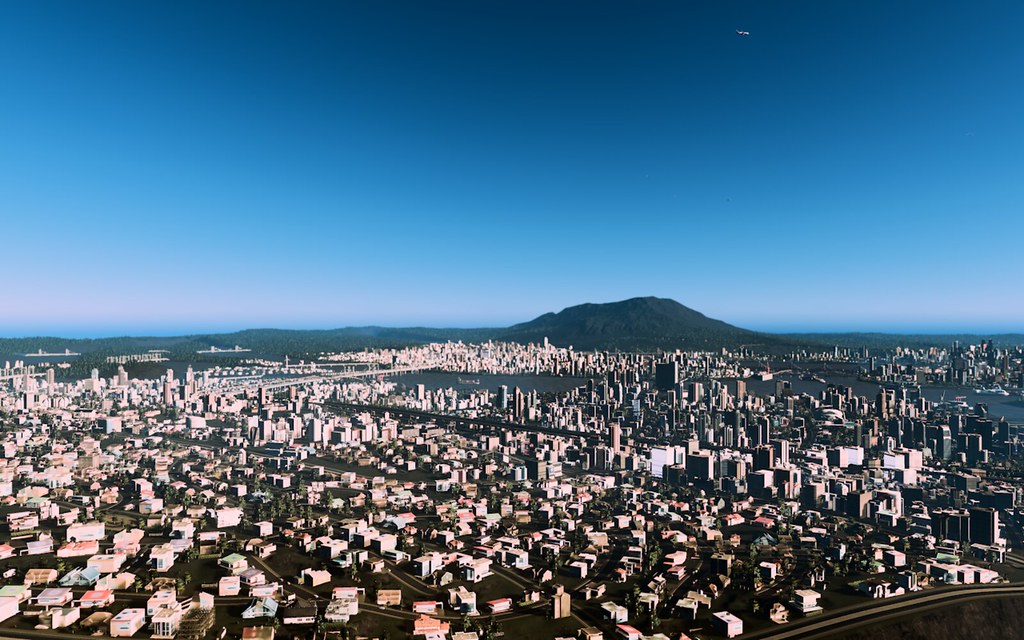 255710_20170101231103_1 255710_20170101231103_1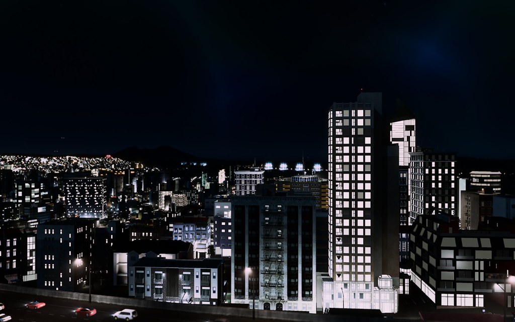 255710_20170101232515_1* 255710_20170101232515_1* |
|
Downtown isn't in the corner as the map indicates. There's a bug sometimes when you rename regions and it pushes the old region names into the corner of the map. It's weird. Anyway...what I've done here is create 5 boroughs from the existing land masses where we once had neighborhoods. They still exist, I just needed a better -- more organized -- way to figure out how the parts of the city interact, partially because it helps me better formulate and shape the neighborhoods.
 Ameliaville is not a borough. It's a separate city not part of Helensburgh, but is obviously part of the metropolitan area. I'll be building other cities outside of the city limits over time, too. More later. |
What I've done here is create 5 boroughs from the existing land masses where we once had neighborhoods. They still exist, I just needed a better -- more organized -- way to figure out how the parts of the city interact, partially because it helps me better formulate and shape the neighborhoods. Most will still exist, but I'd prefer more flexible and porous borders anyway, whereas the boroughs do not change. Ameliaville is a city that's outside of Helensburgh, but would be considered part of the metropolitan area. I imagine we'll have more of those towns over time, too.
So future images will explore the neighborhoods of each in more detail. Our districts/boroughs are hereafter referred to as "Charters" NEIGHBORHOODS BY CHARTER (PART OF CITY) PILLSBROOK (SE HELENSBURGH) South Side Cove Uptown North Laurel Merchant Heirloom Far Side Bay Slope Forest Heights South Commerce Lower West End Sheffield Square STOBBEN*(S/SW HELENSBURGH) Spring Lake Park Crown Point Playhouse District The Bottlecap Pleasant Island Shippen Point Upper Rigby Lower Rigby Central Slope Bayside-Market SoDo MESSIER*(CENTRAL HELENSBURGH) Downtown Messier Ironwood Eastwood Park West Side Square Brewerstown West Side Lower North Midtown Park Silkwood CHAUNCEYSTHROW (NNW HELENSBURGH) North End Bridgewater Kidney Congotown Circle City Way North Dreamland THE DAUPHIN*(NNE HELENSBURGH) Milwaukie Woodland* North Woodland Highland Estates Prime Minister Island Cantaloupe Creek East Island College Park Airport (HBG) OUTSIDE CITY LIMITS Ameliaville |
Some factoids:
|
 255710_20170104233329_1 255710_20170104233329_1Wrourough is the 6th Charter. It's pronounced "Rural"  255710_20170104232014_1 255710_20170104232014_1  255710_20170104232811_1 255710_20170104232811_1 255710_20170104232416_1 255710_20170104232416_1 |
Did some building in the Milwaukie area today, built a new university that has fantastic views, too.
 255710_20170107183628_1 255710_20170107183628_1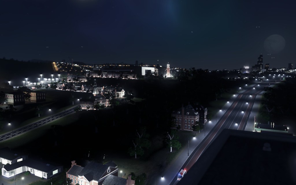 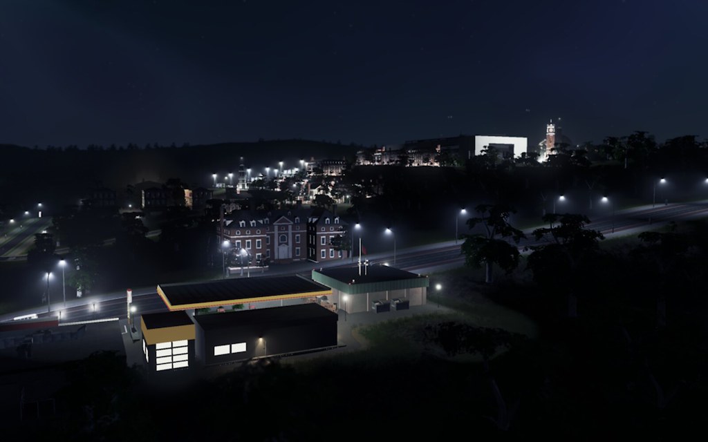  255710_20170107182256_1 255710_20170107182256_1 |
My most recent visit to town was building a winter resort outside of the city limits called Walter Mountain Resort. The town itself is called Walter and it's grown from a skibum resort town with a metro area population of about 25,000 people tho it's less during the off-season. We built a smaller airport at the base of the mountain, largely to accommodate tourist traffic who are rich people that wanted to come in just for skiing and didn't want to deal with larger HBG (Helensburgh International). This smaller airport we'll say is actually older than HBG, but was pressed into action as Walter Mountain became a destination winter vacation spot.
Here are some pics: 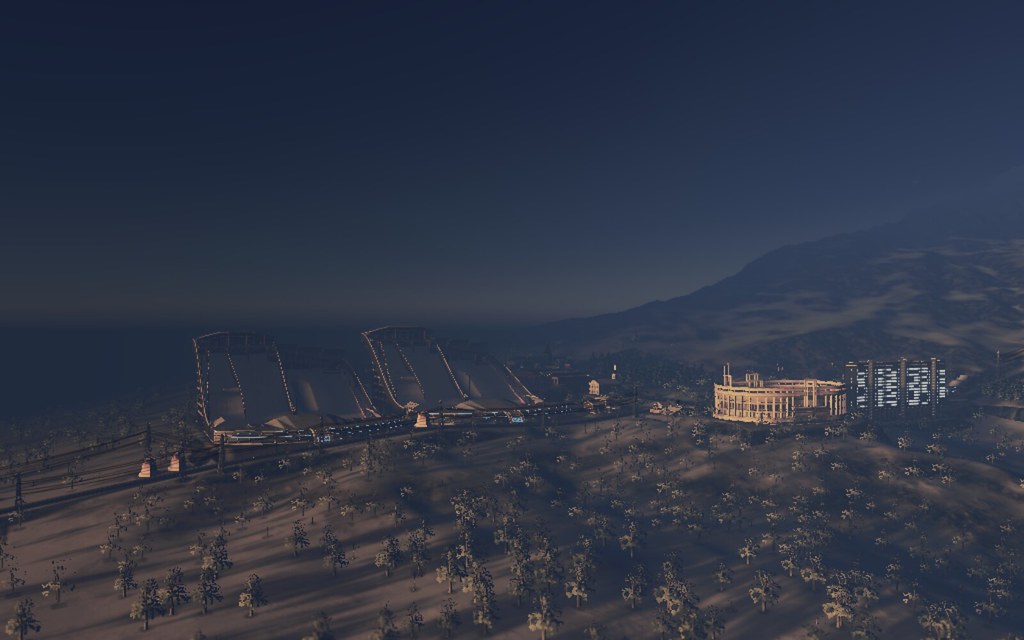 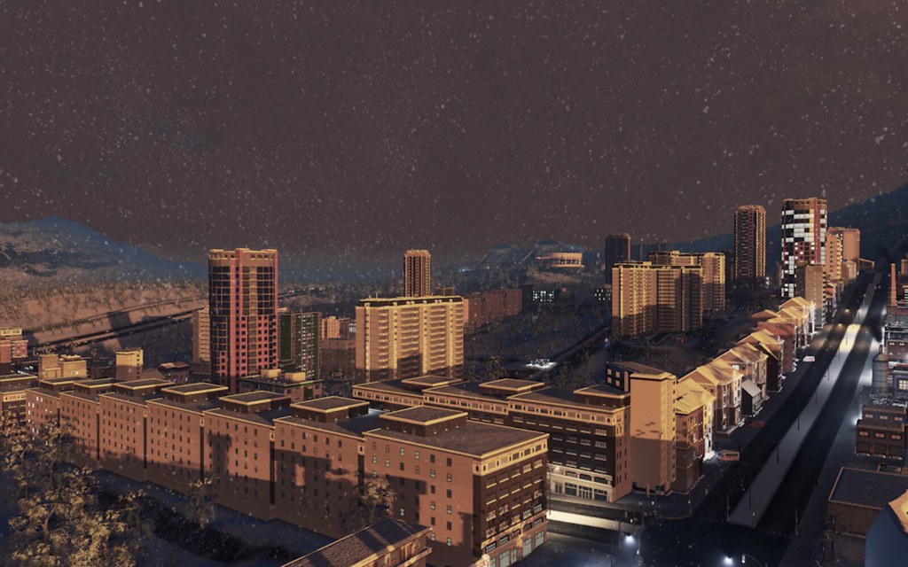 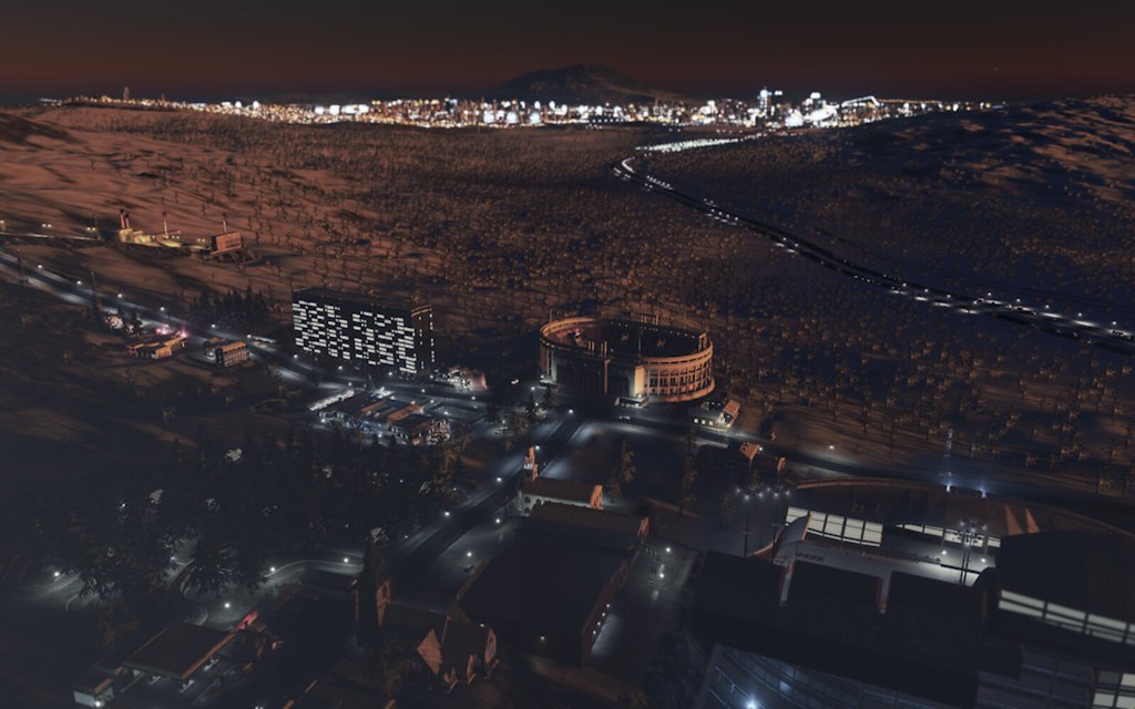 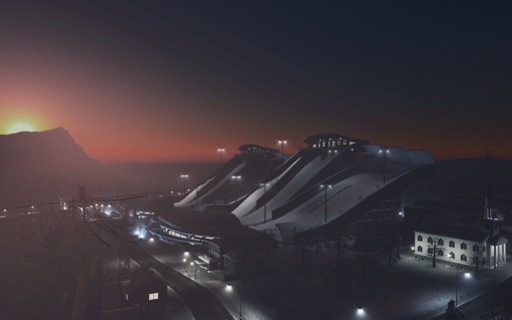   |
I expanded past the Ameliaville area and created a new town of Heart Lake, which is right on Heart Lake this time rather than relatively adjacent.
It's recently added highway access, so it'll probably start to get bigger faster as a result. Here are some photos of Heart Lake: 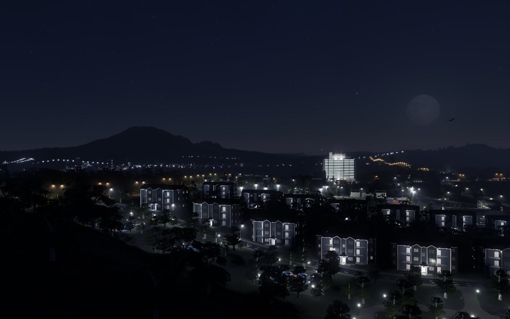 [/url][url=https://flic.kr/p/PV4tjd] [/url][url=https://flic.kr/p/PV4tjd]   Across the highway is the town of Middledock, which is actually a city separated by an inlet, no good photos of it yet. |
I read this story in the NYT today and it made me think about these cities and how we can tell better stories. I might even make a Medium collection out of it, since I have such good photos.
I'm kicking around doing features on various neighborhoods and some of the challenges they face. It's interesting when we build these, we spend a lot of time talking about the challenges with redevelopment and not really focusing as much on the "agents" that are contained on the ground, where they go, what they do and so forth. Even when there are people who build more slum-riddled cities, there just lacks a bunch of context. For instance, I'm thinking about the ways that mass transit works in the city and what life is like in the parts of the city proper that don't have any mass transit access and how expensive it is to live there, etc. So I'm going to probably do some contextualizing as I go through and keep building or whatever. I also need, now that I have a better sense of the areas of town, to look at the mass transit maps and do some visual routing of where bus/subway lines go on a photo of the city. With the street naming mod still not working, I can't name streets easily, but I might use some other method to try again, because it's the one thing I haven't been able to do as much lately so I don't have context for the neighborhoods in a granular way. I'd like to dig deeper for stories. |
When I first started redeveloping here, I was thinking it was more Denver-esque, but now I'm thinking it's way more like Atlanta especially as it grows.
The thing we're probably missing is a third principal city, assuming that Ameliaville is a full fledged city, so we'll work on building a second major city somewhere, but I haven't decided where yet. Plus, I get a bit hamstrung when it comes to building some of these places because I tend to make the road networks a bit too sprawled and I'd prefer tighter ones if I can manage it. |
I finally got Cimtopgrapher to work for me so I was able to start generating road maps of the city. This is a street map of the Pillsbrook section of the city.
 [/url] [/url] |
The road naming mod is broken in-game. I could probably generate roads using the the cimtopgrapher tool, but I feel like it's more organic to do it in-game because I can see which ways roads connect and get a more natural feel. Since the road tool is broken, I'll probably just use the district tool as a stopgap. It'll be messy and I sort of hate it, but...I've got screenshots of the neighborhood map and I didn't intend to go back to using the district namer that way anyway.
I'd like to rebuild mass transit situations again, I feel like ridership isn't really effective because i've done a crap job of connecting neighborhoods to transit, etc., but in order for me to be better at this, I need to have a sense of the names of streets and stations so that I know precisely where I'm connecting people, etc. I could probably spend some time looking at the commuting patterns of people, but I'm not sure I'm that invested this is really too nerdy for words. |
I'm kind of at a standstill until I can name roads, which is kinda dumb but that's just what I want to work on right now. I did rebuild the bus lines, but I had to disable some mods that I think were preventing the lines from actually starting to work. If not, I'll delete the lines and eventually start again.
It's also possible that we can just ditch bus transit altogether in this city for now and just have gnarly traffic for a while if it leads to that and then eventually try to rework the bus situation once I can effectively map roads better. The real problem with bus lines is a lot of the neighborhoods are very winding and it makes it hard to create linear routes throughout the area to me. I'm just also really loathe to create lots of small lines that feed into bigger ones because I might find it tedious or perhaps I'd like to be sure it's working first before going further. So I dunno, I'll test what I've done now and see if it takes without mods loaded and if not, I'll need to try again a different way. Sidenote: For the purposes of my basketball sims I'm playing right now, Helensburgh/Ameliaville is going to be a major city based in Montana. It's more realistic than when I try to stage things out of Wyoming and there are at least two D1 basketball programs there, so I'll be intrigued that if we ratchet up the talent out of Montana over time whether those programs will benefit or not. It won't even just be talent from our area, but from other cities around the state. I won't really be editing ratings because that's way too tedious in FBCB, I'm just going to rename guys and move game-generated guys to Montana essentially and then see how the game reacts to this talent infusion into that state over the years. I might eventually put an NBA expansion team there too, because I have a spot for them and I think the story is leading me in that direction. I need a census of all of the high schools in the city first, so that's my next project since I can actually do that. The MSA population (agents converted to people) is over 4.3 million, making Ameliaville-Helensburgh, MT MSA the 13th largest MSA in the country sandwiched between Riverside and Detroit if you look at the current numbers. It's nearing the Phoenix/Atlanta comparisons of sprawling city and has surpassed Denver as the 2nd largest city in the Mountain West after Phoenix. If you're trying to map your way there, for the purposes of this storyline, just use Haxby, MT because the only water situation that resembles the map I have in any real way in Montana would be just there near the Missouri River, which I'm good with it being a river city. |
Ameliaville-Helensburgh MSA High Schools (by Charter)
SUBURBS
---- Helensburgh Central Heartlake Northwest (Middledock) Walter Mountain CHAUNCEY ---- Circle City Chauncey Bridgewater Kidneytown Academy of Arts & Science MESSIER ---- North Side (Far North) Brewer Skyline Chippewa Ameliaville Christian St. John The Baptist Catholic Ironwood West Side Green Meadows School Messier North East Side THE DAUPHIN ------ Frozen Lake Parker School City Island Pope John Paul II Highland North Highland South Milwaukie Catholic Milwaukie East Milwaukie West Woodland North Woodland Creek PILLSBROOK ---- Helensburgh Episcopal Southeast Heirloom Bay Slope Pillsbrook East Pillsbrook South Forest Heights South Commerce Sheffield Laurel Uptown Pillsbrook North Pillsbrook West Creek Ridge Bear Mountain WROUROUGH --- South Ameliaville Ameliaville School For The Deaf STOBBEN ---- Twin Islands Shippen South Shippen North Crown Point Bayside Central Slope Holy Father Community Hall Stobben Central Urusline Academy |
In this parallel universe of sorts, I'd imagine that Ameliaville MSA would be much like NYC and would have its own city championships and then the winner of that association would go on and play in the regular MHSA state tournament.
Because right now, the biggest high school in Montana doesn't have 2,000 students. I do not recall the biggest high school in our area, but there are a number of HS with over 1,000 students and something like over 90,000 HS students citywise at last check, so I can imagine how playing those schools in a state tournament would seem unfair over time. Plus travel is kind of a mess anyway. If you ever read this and want to pick a high school to be good, you can and I'll make sure more recruits come from there over that period. Like I said, I'm not really editing anybody, just change names and high schools during the early period before recruiting really gets going. Creating recruits for the game is way too tedious and I've done it in the past. Some states generate a surplus of 1-star recruits which makes it a bit easier to fill Montana with those kids, with the occasional good player from a state with lots of them. "Imagine families moving to Ameliaville to get more scholarship looks than staying in a bloated state." |
The amount of effort you put into layout, organization, etc. here is beyond astounding.
I declare this thread to have surpassed the dynasty stage, and have become a full-blown work of art! |
Quote:
I always appreciate that you notice, haha. So much dorktasticness. |
I concur.
|
Quote:
This. |
Road name got fixed. I'll likely be naming streets until I fall asleep.
|
There aren't many industrial areas left in town, by my design, but the last one is called Silkwood. It's adjacent to Far North, the furthest point of Messier, wedged between Prime Minister Island (where no one lives) and the northeast of the city (The Dauphin/Milwaukie/Highland Estates) and to its west, we have Chauncey which is way more residential.
For now, the area endures as the lone industrial part of the city, but will it last? 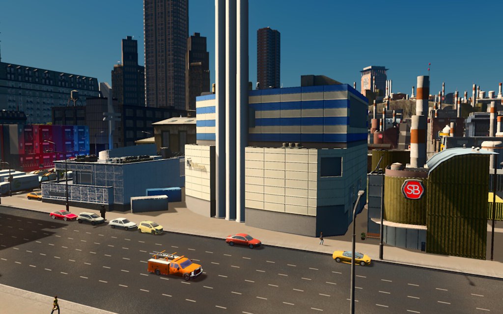 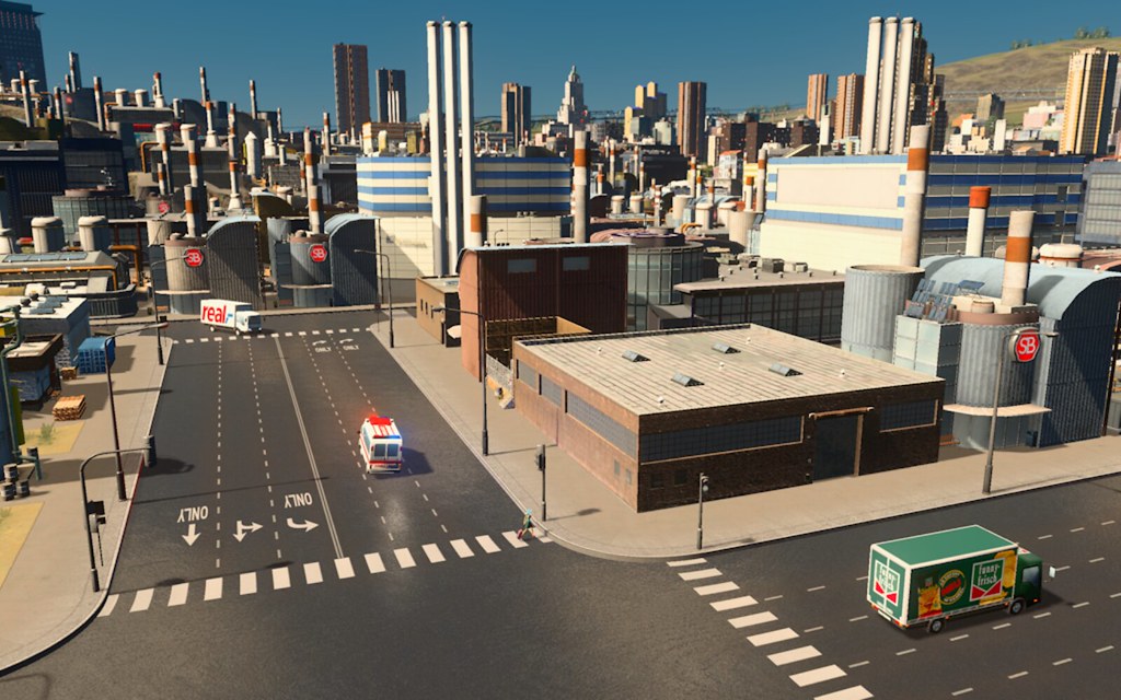  |
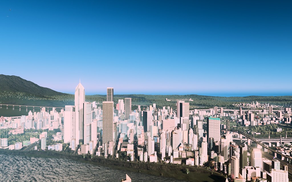
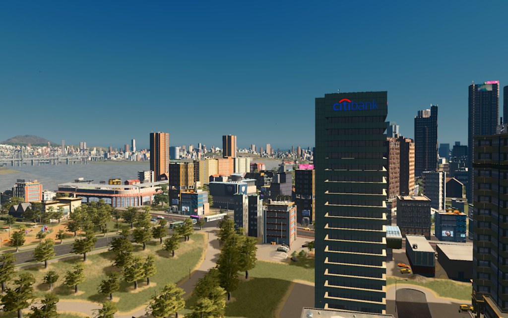
Here's a current view of the downtown area (Messier)
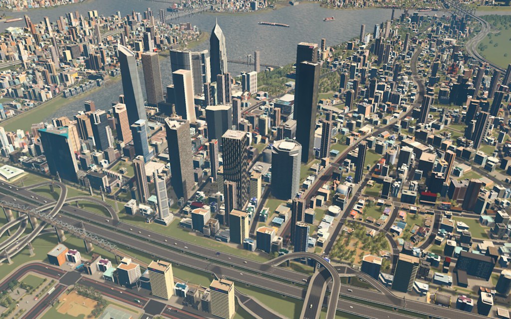   |
I am a sucker for a downtown ballpark. I finally got a downtown (well South of Downtown) where I could nestle one into.
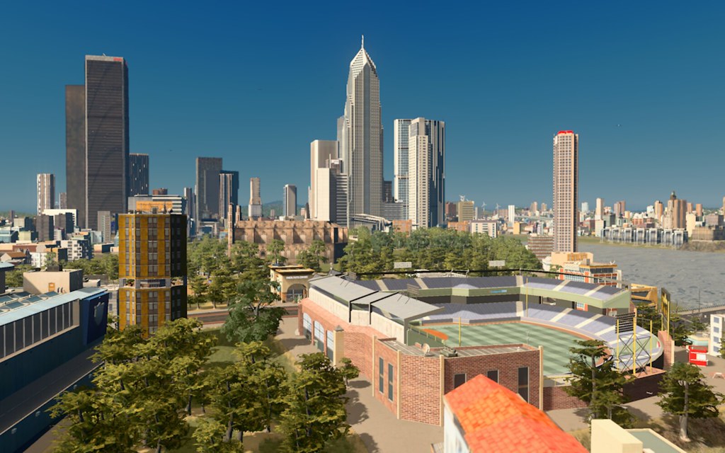   |
Downtown Pillsbrook
  Aerial view of Pillsbrook, it's got a very "Queens" vibe if you wanna speak NYC parlance. 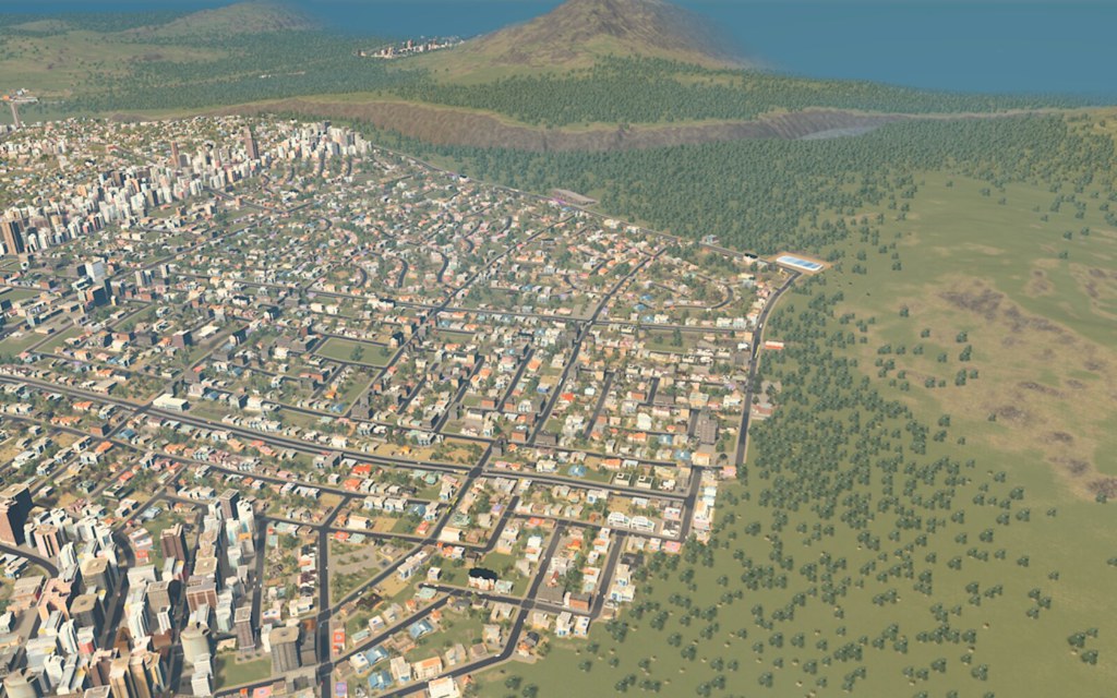 |
Haven't played this in a while. This thread makes me want to fire it back up. Awaiting the unavoidable disappointment that I won't end up making anything that looks that nice. :-)
|
Quote:
Haha, I'd suggest hitting up the Steam Workshop and finding someone else's city already built and then tweaking it in your own image. I find that is harder than doing it from scratch and you spend less time building pipes and roads and more time growing or redeveloping your city. |
The bus thing is giving me a headache, but I really want to solve this now that I can name streets/roads.
So my new redevelopment mass transit idea is focused on the METRO and bus system. I'm going to rely fairly heavily on metro transit around the city, since that system is pretty mature and there's a decent amount of ridership. I'm going to change the bus setup to work only on major roads OR only to serve neighborhoods. So no more buses that traverse from different parts of the city, though I'll probably keep lines that go between different bus depots too. I just need to do this in a logical way for my brain, without having to lay a ton of bus stops around the city that probably won't get used because it's clearly not working as I've got it now. So off to attempt this, which is likely to lead to some kind of new naming/numbering system for bus/METRO in the city. The crux of this deal is that I'd like to be able to know how to get from one part of town to another. I've only now begun to really get a sense of where the neighborhoods are and what part of town is what. But I still don't have a sense via roads and certainly not mass transit how you'd do that. Before I do ANYMORE building or development, I'd like to put this into action and then I can start figuring out what to do next. I got the growth I wanted in spades, but I still don't have a handle on transportation besides driving which works well. |
I rebuilt the lines last night. We've got over 40 bus lines now, the METRO lines are at around 21, but I'm increasing that number too and I'll add more neighborhood bus lines over the city as we move on, but after rebuilding the lines last night, I let the game run 6 hours on its own to make sure the lines would repopulate, etc., and so far, bus ridership is up significantly from any other time in this city.
 Bus ridership actually outpaces METRO ridership right now, but I need to rework the subways to get them working how they were when we first took over the city. There might be some overlapping lines, but essentially, I'd like to have lines heading in both directions N/S or E/W.   |
I'm going to go back and replicate the lines I had on the previous page, as those lines were almost all North to South or East to West lines. I think they'll probably operate as express lines rather than how I had them before, if I could create 4 or 5 express lines that basically converge all in the middle of the city -- there isn't a major subway depot in the middle of the city, just a train one -- I bet that would work in tandem with the smaller lines I have working.
There are probably some tweaks needed to my existing lines, too. But I think I can get ridership back up into tens of thousands per day on subways, even with the uptick in bus traffic, largely because the population of the city has grown (again). The most interesting thing is that the lack of subways has gotten people to start using the tram system more. It's not ubiquitous across the city, it's mostly a Central Messier and Downtown and maybe SoDo (I don't recall) thing but we've never had that much ridership on the trams ever. So that's been cool because I haven't touched those lines at all and don't intend to. |
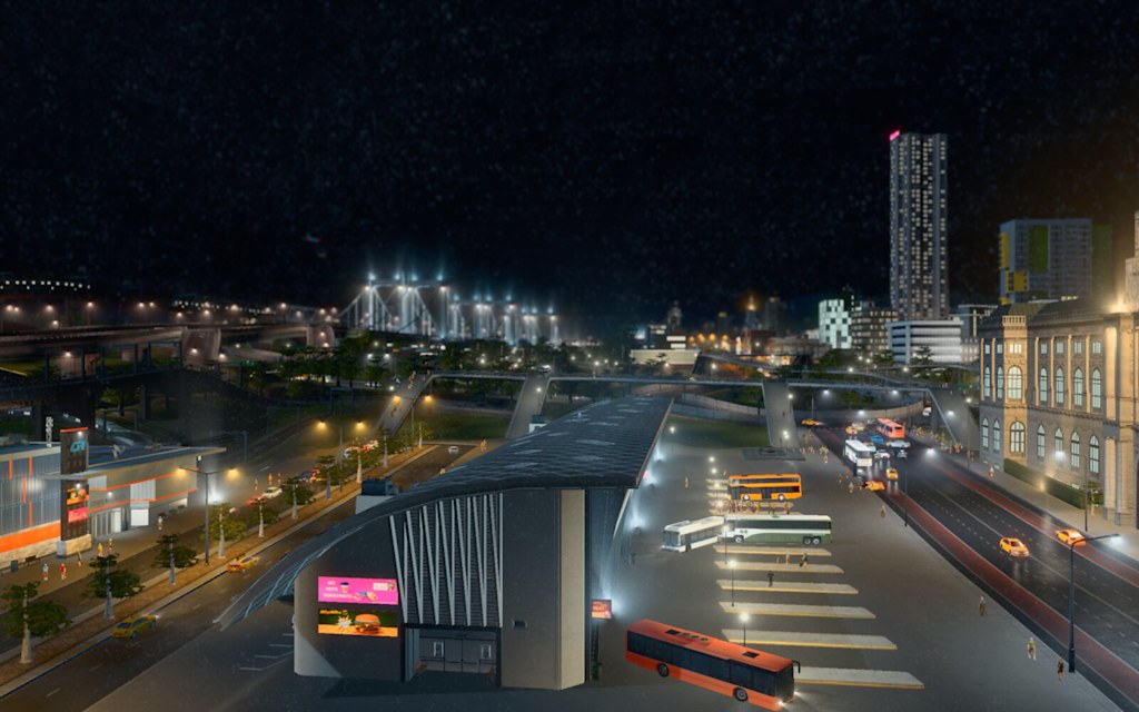
From today's visit to town. Shots from Downtown/Ironwood area including the downtown transit terminal. One shot from Stobben. More detail later tho.
 255710_20170118232202_1 by Roni Somerkoski, on Flickr 255710_20170118232202_1 by Roni Somerkoski, on Flickr 255710_20170118232139_1 by Roni Somerkoski, on Flickr 255710_20170118232139_1 by Roni Somerkoski, on Flickr 255710_20170118232106_1 by Roni Somerkoski, on Flickr 255710_20170118232106_1 by Roni Somerkoski, on Flickr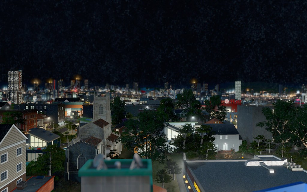 255710_20170118232048_1 by Roni Somerkoski, on Flickr 255710_20170118232048_1 by Roni Somerkoski, on Flickr 255710_20170118231943_1 by Roni Somerkoski, on Flickr 255710_20170118231943_1 by Roni Somerkoski, on Flickr |
The bus situation has improved a lot, we have more lines and I bet I could make them more efficient, but I'm not going to worry about that now.
I decided I didn't like the subway lines I'd laid, so I went through and removed them and I'm going to try again. It would be easier in a sense if I could relay the subway tubes from scratch, but that's just work I'm not willing to untake plus it feels more realistic to work around the constraints. I noticed when I did this the last time, the lines that had a lot of stops seemed to do better. This time, I found that cross-town lines work better than just having regional lines that force you to do a transfer. So I think what I'll do is have lines that effectively go east/west & north/south. They'll just intersect at the center of the city and I'll see if that works. |
I've significantly improved the transit situation on my third try. The key is you need long lines that stretch N/S or E/W from one part of town clear to the other with stops in-between, rather than thinking people will take more than one line to get where they want to go.
They'll transfer, but they'd just prefer a line that takes them out of their neighborhood or else, they'd just opt to drive. I mean, that makes sense but I couldn't get myself out of the habit of making lines that didn't make sense or there weren't enough lines going places to make it worth waiting for a train because the times were too long. I still probably need to add more lines, but we're at 20 lines right now and I have more ridership than I had when I had 25. We're not at the over 19k that we had when I first inherited the city, but I am making progress towards getting back into the 10k range which is/was my goal. In other news, there's a huge traffic snarl over in the Circle City area where Helensburgh traffic enters the city.  255710_20170121154127_1 255710_20170121154127_1  255710_20170121153921_1 255710_20170121153921_1 255710_20170121114601_1 255710_20170121114601_1 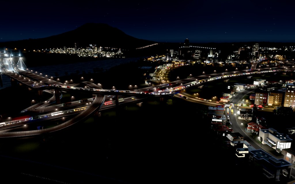 255710_20170121154046_1 255710_20170121154046_1 |
 Monument Square 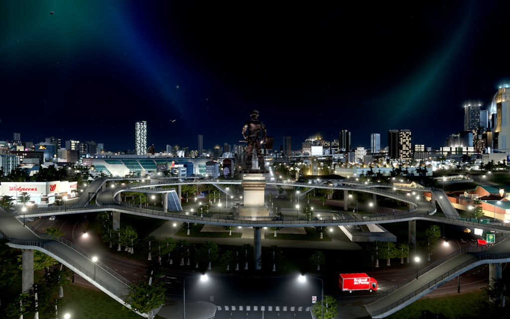 Aerial view of Monument Square 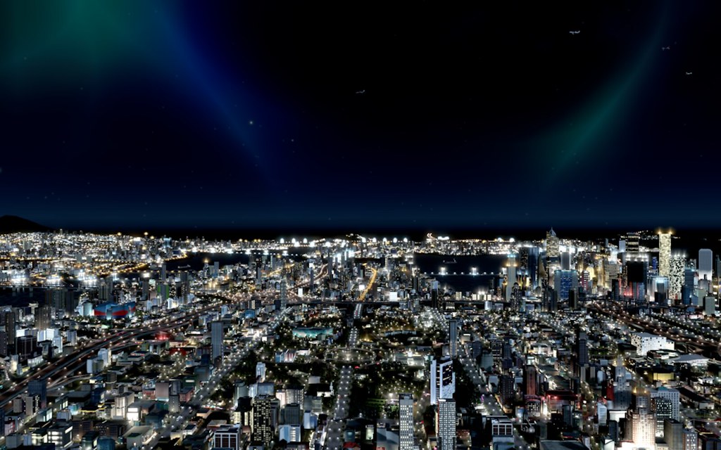 View of the Pillsbrook Shore 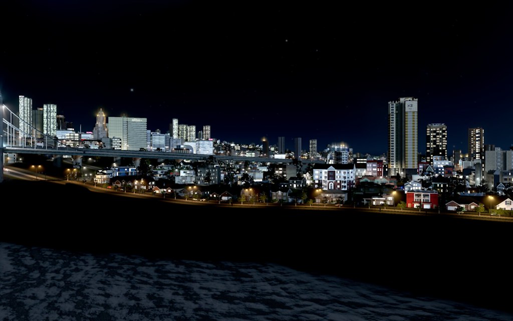 Pillsbrook Boulevard, Pillsbrook  |
I might, for the sake of not having people sift through three pages, fork this dynasty into a deal where I profile the specific neighborhoods in Helensburgh MSA. I've gone through and redetailed the map of the various areas, though there are still others that have yet to be named/developed, we've got a solid set to work from. I'd like to show more detail about the various neighborhoods, even if they're not especially distinctive (detail work not being my forte) at least we can see some pics of the various spaces and let whatever is there tell some kind of story.
I think I'm done dealing with subway lines, mostly because I think at the size of the city being where it is, the game has a harder time dealing with the numbers and I think it's just generally buggy or whatever and at the end of the day, none of it really matters all that much. There's a possibility I'll do a thing where I try to identify where a recruit for FBCB is from or whatever, but no promises. |
This game is too engrossing so I tend to have to avoid it, but I've been wanting to get back into my cities and at least show you what I'd been working on the last time I had any real time to work on it, because there are some new neighborhoods and independent cities in the area that I haven't recorded here.
I've probably redone the subway and bus lines at least once or twice since the last time I posted in here, too. I have no idea whether it's working or not, but I'm kind of over it now until they release the new mass transit DLC and then I'll be able to work on it again, because there are just fundamental problems with the way it's setup so I'm not even going to worry about accuracy anymore at this point in this particular city. The most notable new addition to the city -- and I'm not even sure if it's part of the city at all -- is San Felipe. There are (adjusted) about 54k people living in the community. With subway access, it makes for basically living in Hoboken or somewhere in Jersey when you can't afford to live in NYC. It's still a bit sleepy, but it's getting more interesting as time goes on.  Here's a map where you can see the far north parts of Helensburgh MSA and then San Felipe on its own in the far north peninsula of the map with University Heights/Milwaukie to the east, which also contains the only bridge/driving access to the main parts of the city. Otherwise, there's only subway access. Average rents in San Felipe for a 700 sq. ft. apartment is $1,054mo. Contrasted by the city average rent of $2,715/mo., you can see why it's becoming an attractive place to live despite its sleepy reputation and distance from the main parts of the city.  |
This is the view of downtown from San Felipe, it's in the distance there.
 |
Revisiting, again.
I go back and forth between using the original name of this city (Helensburgh) which I came up with randomly and the renamed version (Ameliaville) but for context, it's the same place.
It's just the people voted to change the name of the city back to its original name, so...that's what I had to do. I've been wanting to showcase the various neighborhoods for awhile and at least give a capsule of the different areas, their populations and perhaps what makes them interesting or distinctive or who lives there because I don't really know right now. I'd prefer to do this before I go building anymore areas in the city, especially now that San Felipe exists, because I can't really decide where else we'll build right now and when I do, I need to really understand people's motivation for moving further out other than financial reasons or whatever and perhaps, I can use these stories as a way to stitch the identity of these new communities and to decide whether they're even part of the city or not. In game, the population is 659,090 which translates to about 5.5 million people in real #. Here are aerial views of the neighborhoods on the South Side of town.  Pillsbrookis the Southeast quadrant of the city with an estimated 833k people living there. Average rent there is consistent with the rest of the city at about $1,829/mo for a 2 BR. But home values there are WAY lower than the city average ($403k) at $193k for a single-family home. Needless to say, the Pillsbrook area is growing as a result. Many of the neighborhoods there are actually not named, most people opting to claim "South Side" residence for whatever reason. Pillsbrook reminds me of Queens. Homes where you can still have a driveway, decent subway access to the city with bus lines too and relatively affordable, but quite boring relative to the downtown area or other parts of the city. Stobben  Stobben is in the South/Southwest quadrant of the city. It's home nearly a million people and is the most populated charter of the six. Stobben is growing like a weed due to its proximity to Downtown and with an increased number of young people moving there due to be priced out of downtown and the lower downtown in recent years. There is a party district called the Playhouse district which isn't really much about theater anymore, it has a lot of clubs. I'll highlight the other parts of town in a future post. My next task is to get down and show you the various neighborhoods themselves, but wanted to do a high level view of them before I did that (even if I've done it in the past...) |
With the new mass transit DLC out for Skylines, I've gone back to the beginning of my Helensburgh map, renamed the city New Halifax and I'm going to rebuild the suburbs and remake neighborhoods all over again. A lot of the older mods cause conflicts with loading old save games, so I needed to start at a vanilla save to be able to get the game to load.
It'll be an interesting opportunity to relearn the city again, and also rework the transit situation around the city. We'll see if I do a better job this time of making it feel more like a functional city than last time and how the suburbs grow, too. |
Mayoral elections
One of the wrinkles I'm adding to impact the way I grow the city (or not) is through mayor elections. They'll be randomized , so it's not like I can influence the election really. But we'll have different candidates who'll advocate for different things and based on how they do in the primary, we'll do a runoff election of the top two candidates. Because it'll be a lot of chaos, in theory, you could have fringe candidates mucking things up. While the Mayor influences policy, the "City Manager" is the non-politican we get to play in our story and who'll actually carry out the policy prescriptions related to higher/lower taxes, growth in certain areas and so forth. There will be council members who voice concerns for their particular areas too, but I haven't decided how that'll impact anything. Really, I just want to be more deliberate about how we grow this time. Growth is already happening around the city and of course, there will be suburbs that sprout up outside of the city limits too and might eventually factor into the story, but...I'd just be intrigued to see how it changes the direction of what we do and how we do it around the city. Here are the current political parties in the city: Advanced Civic League (Right-Wing party. Favors lower taxes for businesses, increasing policing in neighborhoods and limiting growth to the suburbs rather than in the core city.) Compromise Movement (Centrist. Pro-growth, moderate on policies like drug decriminalization, NIMBY and spending on infrastructure.) Citizens Alliance (Left of center. NIMBY. Pro-education spending. Hard on crime. Likes Parks.) The Nature League (Left-wing. Wants fewer roads and more mass transit options. NIMBY. Wants more dense housing options to bring down rents and fewer single-family homes in the city limits.) Contemporary Party The Contemporary Party are the incumbent party in office and have led the city for the past 26 years. Mayor Amos Marcotte is retiring after turning a sleepy city into a booming metropolis and now the race to replace him is huge. TCP are a left-wing party that favor heavy spending on local social welfare, moderate taxation and investing in growth. Rural Peoples Party RPP are a small, fringe party mostly concerned with agrarian concerns. They're against annexation of small cities outside of the city limits, want rules enforced on single-family development and typically oppose multi-family dwellings, mass transit or anything that would disrupt the "character of rural life." Progress League This left-wing splinter is full of Contemporary party exiles (and others) who felt their party was too in bed with corporate interests. Progress favors more local schools in neighborhoods, expanding transit access around the city, bike lanes and stabilizing tax rates. They're also adamant about removing industry from the core parts of the city in favor of more housing, a big wedge issue between the two parties. Here are the primary candidates for each party in the '21 election: Cory Bates (ACL) Harvey Franco (COM) Sophia Flynn (CIT) Wendy Sargent (NAT) Aurinda Sinclair (CNT) Georgine Gibson (RUR) Keven Turcotte (PROG) The top two candidates advance to a runoff. |
I did the election via a draft pick lottery, that way, I could ensure that the result wasn't completely insane but that minor party candidates had a theoretical chance at advancing to a runoff.
Parties in order of polling rank: Contemporary Progress Citizens Civic Compromise Rural Nature After the primary election, the top two vote getters were: Aurinda Sinclair & Cory Bates. Keven Turcotte came in 3rd, Sophia Flynn 4th, Harvey Franco 5th, Georgine Gibson 6th and Wendy Sargent 7th. The runoff is interesting because you have two different visions for the future of the city over the next term. In either case, you get a status quo type of moving forward, except I think ACL might be more aggressive about a lot of things that Contemporary would probably be less interested in (like increasing police spending) and the city itself would probably stay relatively staid. Entertainment options probably won't expand much. Anyway, the general election happens and with Contemporary polling with a 6 point lead heading into election Sunday. In the end, Contemporary wins the election 52-33 (with 15% of the vote abstentions.) Aurinda Sinclair becomes the city's first female mayor. |
First order of business (naturally) is figuring out what road we can name for Amos Marcotte, longtime mayor.
Now that Cities Skylines has named roads, it's an easy thing to do. There is an avenue that stretches from way East all the way through downtown past the Outer West Side and then loops back around. Seems appropriate for a guy who shaped the city's future through his work. Here's a view of the newly named Amos Marcotte Blvd. from downtown looking west. I stuck a monorail track around a loop West of Downtown, just because I could, but so far nobody is really riding it.  |
I created a parallel FM league (taking over New Zealand) that has 16 teams based in this fictional city of New Halifax (and suburbs). I'm working on simming a bunch of years and then the idea is to see whether enough talent ever develops to propel the country out of the doldrums.
There is no promotion/relegation in the league and the top 5 teams after the regular season (of 30 games) make the playoffs.   |
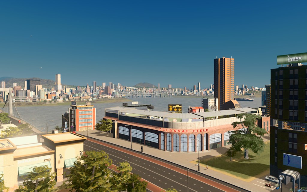
Ironwood Redevelopment Project Phase 1
The first part of the Ironwood redevelopment Initiative is a neighborhood called New Northeast.
Ironwood is just east of Downtown, separated by the M1 highway. Here's the before of Ironwood:  Here's Ironwood after the industrial buildings started being cleared:  That view of the Mountain has to be worth a significant addition to rental properties, especially for rooftop decks.  Here's the present view of what is now known as the New Northeast neighborhood  |
Went commuting last night with two different people around town.
|
New city. Called Las Annitas.
       |
The city is over a million people (adjusted for realism) and I'd been wanting to put an arena in town since that seemed like a realistic want. I was trying to fit the United Center into downtown, but ended up downloading the Jazz's former Delta Center because it was a bit easier to fit as a rectangle, but only because I razed a corner on the far north end of downtown
Here's the before and after (post-eliminating the street anyway)   |
I'd been wanting to build an anchor suburb in Las Annitas. Yesterday, I managed to do it. It's called Santa Miranda and I merged it with Cape Ainee, a far east side neighborhood in Las Annitas and so now it's for sure the largest suburb.
There's a rail station, a subway stop and two bus lines that service the area. (Maybe 3, actually.) These views give you a glimpse of the area looking towards downtown in the distance.   Far edge of Santa Miranda (a neighborhood called Dos Miranda) which is home to a soccer stadium & the HS baseball field.  Aerial view  Cape Ainee (now part of Santa Miranda) Everything you see in the distance didn't exist initially, I've expanded the city a lot.  |
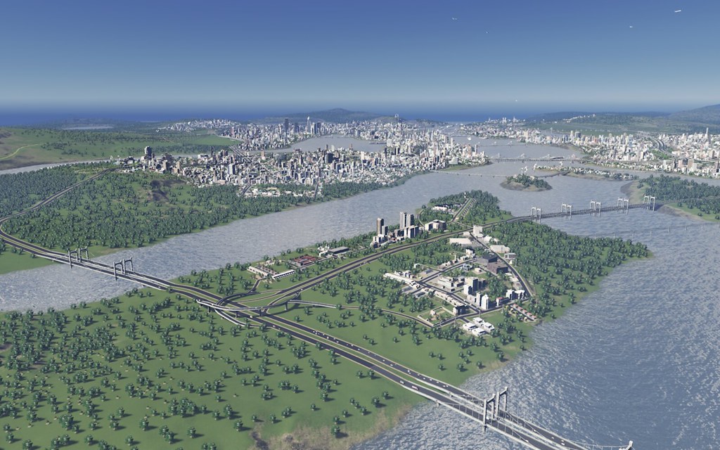
Had to do some rebuilding. This is the view of the city from Heart Lake.
 The stadiums are in an area of Messier renamed City Center   Most recent neighborhood view of the city:  |
I wanted to build a new arena in (the city formerly known as Helensburgh) but wasn't exactly sure where I wanted to build it.
Ultimately decided on the South End of town. Razed the businesses inhabiting that block and it looked like this:  Here's the after when the arena was complete.  |
I hadn't been able to play Skylines in a while because I was using it on a work machine for a long time, then I switched jobs and my local machine can't run it. I finally got a cloud machine last weekend, so I could run it again (I didn't want to buy a computer ONLY to play Skylines, but I considered it.)
For the uninitiated, what I've done over the years is take over existing save games and redevelop cities because I don't have the time to invest in building cities from scratch as I used to (and even if I did, it's probably a bad idea for me to spend days at a time doing it. Because trust me, I would...) I like the constraints of having to build within a city with roads, highways and so forth, because it makes me deal with infrastructure and take a more measured approach to growing and changing the city, rather than starting from scratch and doing whatever I want. (Which I like doing too, but there's a time and place for that.) So I'm building on another city. This time, I named it Chisholm. I'm working on some redevelopment projects, the population remains fixed from when I first took over (181k in game....)  So far, all I've done is add a few stadiums and remove some of the spawned skyscrapers to make the city look more realistic to me. I'm getting a feel for the city limits, renaming neighborhoods. The first real development project I can foresee is turning a largely industrial agriculture area of the city (I've named it Hogwood) into more mixed use residential/commercial. Also for my own immersion, finally started posting pics on Instagram of my city work. |
I got back into the game last fall, but the latest city build I had I lost when I let my cloud gaming rig lapse. I'm working on a new city now that I've enjoyed way more because it was under 20k population when I started and now we're nearing 100k.
|
| All times are GMT -5. The time now is 09:45 PM. |
Powered by vBulletin Version 3.6.0
Copyright ©2000 - 2024, Jelsoft Enterprises Ltd.
 [/url]