Yesterday was our last day of easy geocaching. Son's last day at his school, so with him home all summer, it will be harder, but we will still get some in.
We had a few we wanted to hit going through downtown Bentonville and out towards Bella Vista today. Had hopes of breaking 10, but, after a good start, we quickly ran into some trouble and only finished with 8.
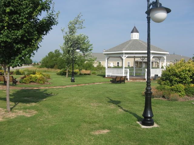
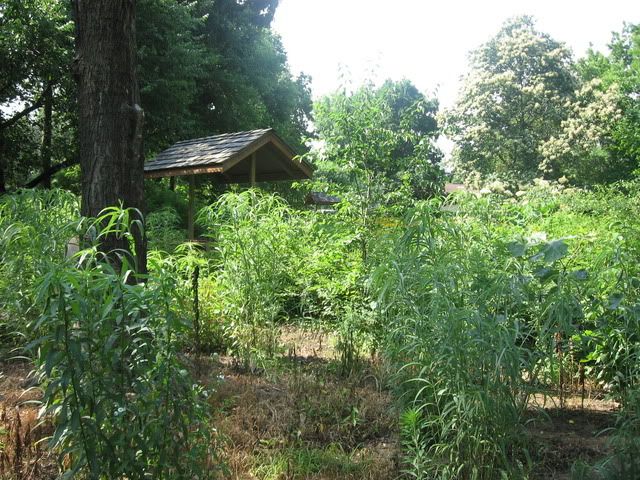
Our first cache of the day was in a little park area with a gazebo and some benches in Bentonville. The cache was hidden with a magnet under the outer benches in the big white gazebo.
We also found one in a soccer/baseball park that I didn't take any pictures.
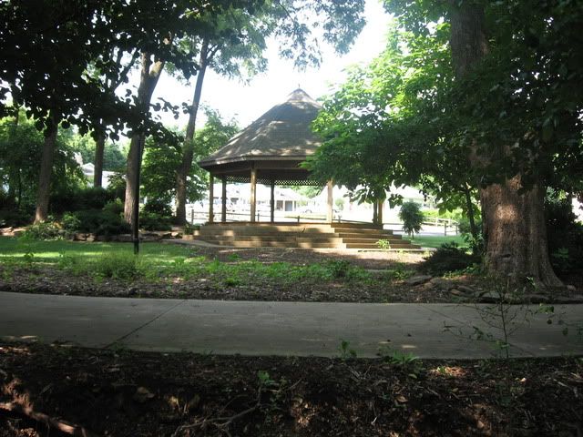
Just off the square in downtown Bentonville (where the original Sam's Store that eventually turned into Wal-Mart is) we found a cache along a walking trail. Yet another gazebo in the background of this one:
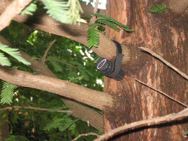
but this one wasn't at the gazebo, it was in a tree:
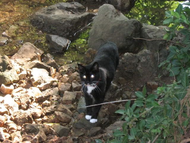
We signed this one and headed back to the van. A movement caught my eye to the right down in a little creek bed. Thought it might some unusual animal at first, but it was just a cat. Snapped a picture of it for kicks.
Our next search resulted in a DNF, but it was pretty bizarre. Our GPS brought us to the backside of a park called "Compton Garden." We didn't realize it was the backside of the park, though. We parked along the side of the road and tried to figure out how to get in the fence. We found a gate and went in and, at first, thought this park was abandoned and unused.
Over by the little roof, though, we discovered the paved path. The roof covered a little park bench that was very clean and obviously cared for. This was actually just the very back of a nicely kept park. We followed the paved path to the exact spot of ground zero and searched with no success for the cache.
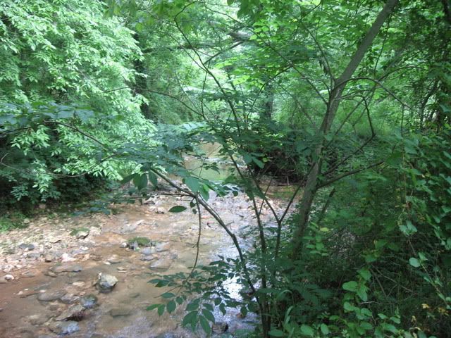
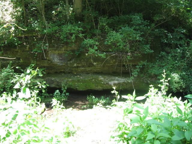
We moved away from downtown Bentonville, towards Bella Vista, next. We found another walking trail that held a cache, parked, and started walking. We found this one by description of the cache rather than the coordinates, since people that had found it before us repeatedly mentioned that the coordinates were poor. Here is the stream that the cache was next to.
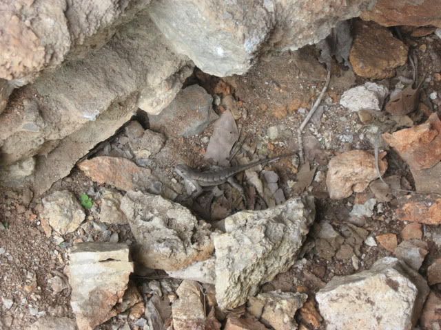
Next we climbed a pretty steep hill and looked for a 4-star difficulty cache on the face of a rock-wall. We looked for 20-30 minutes and failed miserably. Did find this little guy, though.
At this point, it was getting later in the afternoon than we would've liked, so we decided to go back to the square in Bentonville and do a multi-cache.
Multi-caches are caches where the coordinates given are only the coordinates to the first stage in a series. Usually, you have to go to the site and somehow discover the coordinates for the next stage and continue the process until you get to the final stage. This is where you sign the log and get to say you found the cache.
We got to the square and looked up the details for the cache. On this one, we would have to find some information located at the coordinates on the square and use that information to come up with a number. The next step is to go to another set of coordinates listed in the cache description and find information to get another number. All the numbers, 6 in total, would combine to give the coordinates for the final stage. It was something like this:
AB CA.DFF
DE BB.CAC
And if you find what A is (at the first stage), what B is (at the second stage), etc. you get the final coordinates.
At the first stage, the instructions were to take the year that Bentonville was established, and subtract the first digit of the year from the third digit of the year. For the second stage, you just use the last digit in the number of the train car that is at the second stage coordinates.
So, you have to go to all of the stages to get the individual numbers and then substitute them into that jumble of letters to get the coordinates for the final stage.
We ran through all the stages and got the coordinates. Another walking trail, but the coordinates were consistently leading us to a spot in the middle of some dense trees in the middle of the walking trail. It looked quite nasty to wade through.
It was.
We couldn't find how to enter it, so, worried that we had messed up on the coordinates and were going to be wasting our time and effort, we just picked a little gap in the bushes and forced our way in. Once we got in it wasn't too bad, but the initial entrance was pretty hairy.
After about 25 yards we did come across an obvious trail with markers, so our confidence increased. The GPS arrow led us down the trail and we came to a bridge. The hint for the final stage mentioned a bridge, so our confidence was full, now. The foliage was very dense, though, and the GPS was very slow to update, and very low-precision. The next 30 minutes plus had us bushwhacking all over the woods in a big circle around where we eventually found the cache. It is hard to chase the goal on the GPS when it doesn't update your position more than once a minute, and, when it does, it updates it inaccurately. That was basically what caused our misadventures.
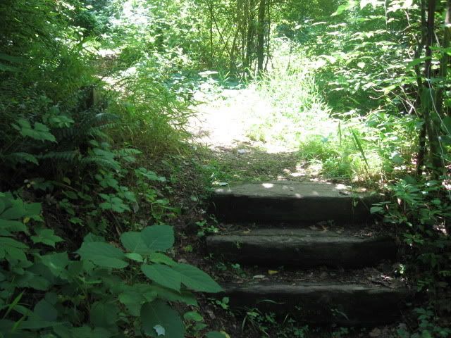
However, we did eventually find it. We decided to follow the trail to the entrance/exit instead of bailing from the trail where we found it to our van. Was about 50 yards from the van where we could've gone, but it would've been a hard 50 yards (and uphill).
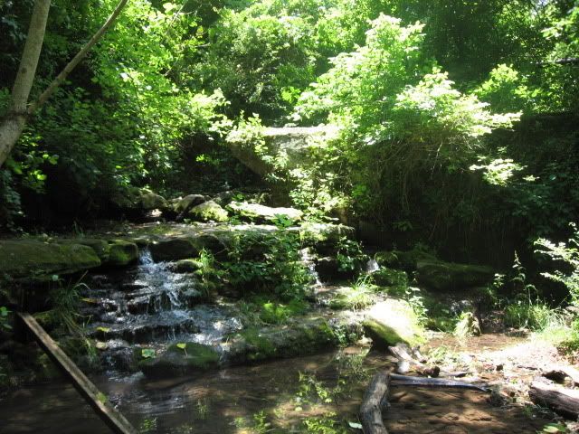
Glad we stuck to the trail. There was a very pretty waterfall near the entrance/exit that we wouldn't have seen otherwise. Here are a few pictures I snapped on the walk back.
At this point, we had to head back to the house. We came across an icon for a geocache we hadn't found on the shortest route back to the interstate. By the looks of where the icon was, it looked to be a pretty easy "park and grab." We decided to chance it. We found it in the first place we looked without reading the cache description or even using the GPS to direct us to the exact location. It was hidden in much the same manner as the stop-sign cache in post #68 but on a different type of sign (no bicycles or something like that). A good gamble to stop and try to get this one. Got us up to 8 finds, one of which was a 7-stage multi. It only counts as one in the statistics, but it is the adventure that counts!
Finds: 255
Hides: 7