I feel like a ******* for even asking this, but I am having a major brain freeze. On Google Maps, how do you plot a location and then have other arrows pointing to near by addresses?
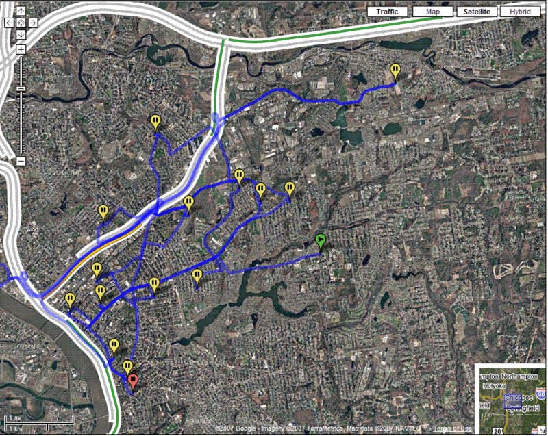
If that was confusing, here is what I am trying to do. For my Externship Seminar I am writing a paper on the Massachusetts Sex Offender Registration Board. I want to plot out where WNEC is, and then show where the Level 3 Sex Offenders are in Springfield in relation to WNEC. I am 99.5% sure I can do this visually using either Google Maps or Google Earth, could someone help me out here?
Thanks in advance!
Comment